- Glenwood Canyon Trail winds along the Colorado River
- 16.2 miles (about 3 hours)
- An easy paved trail that is 10 feet wide
- Start on the trail just east of the Yampah Hot Springs and Vapor Caves building
- Catch glimpses of bighorn sheep on your hike
Overview
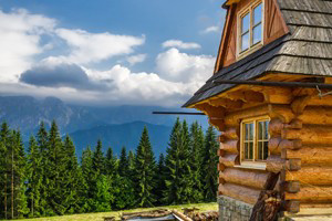
Glenwood Canyon, near Glenwood Springs, Colorado is perfect for a couple of hours of easy riding or hiking on the 10-foot wide Glenwood Canyon Trail winding along the Colorado River. You’ll discover four separate rest stops where you have telephones, drinking water and restroom facilities. Surely you’ll view some of the bighorn sheep that make their home in these parts. Access to prime fishing spots is also available along Glenwood Canyon Trail.
Trailhead
You can get to the western trailhead by taking I-70 to Glenwood Springs at exit 116, turn right at the first stoplight, go about ½ a mile and park in front of the Glenwood Springs Art Center.
Details
- Distance: 16.2 miles with more trails to other locations as options
- Average Time of Hike: 3 hours
- Elevation Gain: 5,753 feet to 5,911 feet
- Difficulty: Easy
- Trail Type: Out and back
- Trailhead: The trail begins just east of the Yampah Hot Springs and Vapor Caves building.
Plan & Prepare
Always be prepared for weather changes when in Glenwood Springs Canyon. Thunderstorms can come in quickly, so always carry rain gear. When you are hiking or biking, you should take along extra water so you don’t get dehydrated. Wear sunscreen, even if the day is a cloudy one. At such high altitudes, you can get mountain sickness with nausea and headaches. Descend to a lower altitude if overcome with these symptoms.